Software
Software licenses are maintained for ERDAS IMAGINE (remote sensing software), ArcGIS (ESRI geographic information systems), MapInfo, Maptitude, QGIS, Alteryx (GIS & data management), and multiple other more common types of graphics and statistical software (e.g. Photoshop, Tableau, SPSS).
Research and Teaching Labs
The Department of Geography & the Environment will provide GIS, spatial modeling, and data management capabilities to the proposed project. The GIS lab includes over 45 high-performance research and teaching workstations. The lab also has access to peripheral hardware such as scanners, large format plotter, digitizers, and global positioning system receivers.
In addition, offsite high-performance servers (dual xeon processors with 96GB of memory and redundant SSD drives per node) provide spatial database and enterprise GIS software support for teaching and research activities.
In addition to our teaching labs, we are completing renovations on a more focused space with ability to host small group projects, research discussion sessions, and individual workstations for graduate student and faculty use.
Software licenses are maintained for ERDAS IMAGINE (remote sensing software), ArcGIS (ESRI geographic information systems), MapInfo, Maptitude, QGIS, Alteryx (GIS & data management), and multiple other more common types of graphics and statistical software (e.g. Photoshop, Tableau, SPSS).
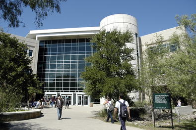
Research and Teaching Labs
The Department of Geography & the Environment will provide GIS, spatial modeling, and data management capabilities to the proposed project. The GIS lab includes over 45 high-performance research and teaching workstations. The lab also has access to peripheral hardware such as scanners, large format plotter, digitizers, and global positioning system receivers.
In addition, offsite high-performance servers (dual xeon processors with 96GB of memory and redundant SSD drives per node) provide spatial database and enterprise GIS software support for teaching and research activities.
In addition to our teaching labs, we are completing renovations on a more focused space with ability to host small group projects, research discussion sessions, and individual workstations for graduate student and faculty use.